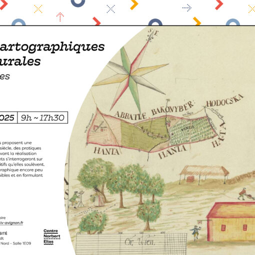
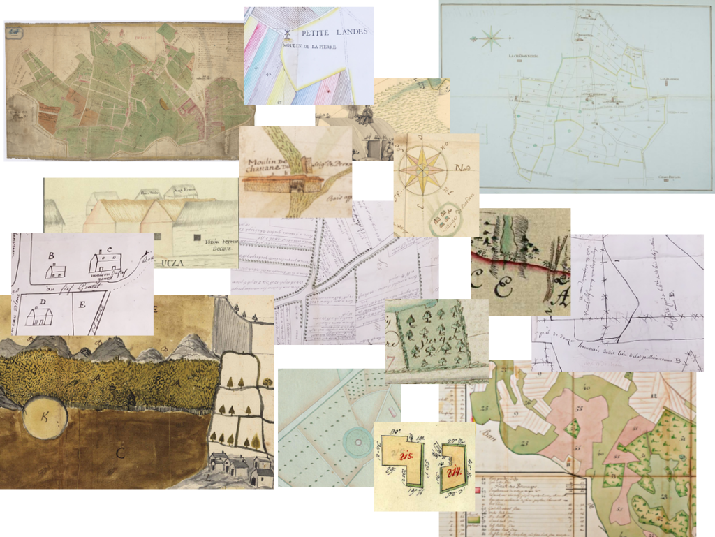
A Revolution in Mapping Literacy? Land Plans and Ordinary Cartography (France and the Habsburg Monarchy, 18th–first half of the 19th century)
Une révolution des littératies cartographiques ? Plans fonciers et cartographie ordinaire (France et Monarchie habsbourgeoise, XVIIIe-première moitié du XIXe siècle)
Thursday 11 June – Jeudi 11 juin
8h30/9h CONFERENCE OPENING (AVIGNON – Villa Créative, 33 bis Rue Louis Pasteur, galerie 3)
9h30 Panel 1: Inventoring the Territorial Resources: an Encounter between Ordinary and State Cartography?– Saisir les ressources du territoire : quelle rencontre entre la cartographie ordinaire et la cartographie d’État ? (Grégoire Binois & Jean-Baptiste Ortlieb)
9h30 Zsombor Bartos-Elekes & Alpár Miklós (Babeș-Bolyai University & Romanian Academy, Cluj): Mapping the Salt Mines of Transylvania (Case Study: Visual Representations of Parajd).
10h10 Stéphane Blond (University of Évry Paris-Saclay, IDHES.S UMR 8533) : Le plan et la route au XVIIIe siècle dans la réforme routière de Philibert Orry.
10h50 Break
11h10 Gilles Narcy (University of Paris 1 Panthéon-Sorbonne, IHMC UMR 8066) : Les cartes rizicoles en Italie du Nord (XVIe-XVIIe siècles) : une culture cartographique pré-cadastrale ?
11h50 Matteo Tacca (University of Genova): Seen from the Periphery: Categorization and Mapping of Resources and Property in the General Land Survey of Savoy (XVIII c.).
12h30 Lunch
14h15 Panel 2: The Cartographic Challenge of Experimental Cadastres – Le défi cartographique des cadastres expérimentaux (Christine Lebeau)
14h15 Sébastien Savoy (University of Savoy, LLSETI EA 3706) : Le cadastre sarde, défis cartographiques d’un cadastre général en territoire alpin (duché de Savoie, années 1730)
14h55 Christine Lebeau (University of Paris 1 Panthéon-Sorbonne, IHMC UMR 8066) : Les mots de la carte de Milan à Vienne XVIIIe siècle.
15h35 Kurt Scharr (University of Innsbruck): The ‘Franziszeische Kataster’ 1817-1860: Insights, facets and opportunities for writing Central European history.
16h15 Break
16h40 Panel 3: Sketching Map in Notebooks – Croquer le terrain dans les carnets savants (Louise Couëffé)
16h40 Emilie-Anne Pépy (University of Savoy, LLSETI EA 3706) : La cartographie expérimentale de Jacques-Alexis Vichard de Saint-Real (1746-1832), l’intendant de Maurienne qui voulait faire l’histoire naturelle du Mont Cenis.
17h20 Pierre Savaton (University of Caen, Centre François Viète UR1161) : De l’inventaire minéralogique à la carte géologique ou comment l’histoire géologique fut mis en carte ?
18h End of the first day
Friday 12 June – Vendredi 12 juin
8h30 Accueil (AVIGNON – Villa Créative, 33 bis Rue Louis Pasteur, galerie 3)
8h50 Panel 4: Building a Database of Old Land Plans (France/Habsburg Monarchy): Feedback on Data Collection and Scientific Contributions from Data Analysis (Benjamin Landais)
8h50 Gábor Demeter (Institute of History, ELTE University, Budapest): Problems of reconstructing country-level and settlement level landuse from the maps of the Josephinian „Landesaufnahme”. Which are more accurate – land survey maps or tax conscription data in the late 18th c. Hungary?
9h30 Octave Julien (University of Angers, TEMOS UMR 9016): Land Maps through the Eyes of a Classification Algorithm/ Les plans fonciers aux yeux d’un algorithme de classification.
10h10 Break
10h30 Romain Landréa (University of Bordeaux) : La représentation cartographique du paysage périurbain bayonnais du début du XVIIe siècle au début du XIXe siècle.
11h10 Clément Gardiol (University of Caen) : Lower Normandy Estate Maps: first reflexions and statistical overview.
11h50 Christophe De Coster (University of Antwerp): Cartographers and Toponymy: An Analysis of Cartographic Agency in Early Modern Flanders using Digital Humanities Methods.
12h30 Lunch
14h15 Panel 5: Mapping Property in Hostile Environments: Maps, Mountains and Society – Cartographier le foncier en milieu hostile : le plan, le relief et les hommes (Marc Conesa)
14h15 Jean-Baptiste Ortlieb (SAGE UMR 7363) : Le foncier des sommets : l’acte cartographique comme modalité de contrôle et de revendication des terrains d’altitude au XVIIIe siècle.
14h55 Michal Vokurka (Czech Academy of Sciences, Institute of History): Forests, mountains, mines and borders. Mapping of the chamber estates of Bohemia under Charles VI between personal and state interest.
15h35 Bruno Jaudon (FDE Mende, CNE UMR 8562):Ordinary Cartography on the Highlands of the Massif central in the 18th century / La cartographie ordinaire sur les hautes terres du Massif central au XVIIIe siècle.
16h15 Break
16h30 Final discussion
17h15 End of the conference
The conference is open to the general public upon prior registration by email (benjamin.landais@univ-avignon.fr)
Le colloque est ouvert à tout public sur inscription préalable par courriel (benjamin.landais@univ-avignon.fr)
This conference is organized with the support of Avignon University, the Norbert Elias Center (UMR 8562), and the SFR Agorantic.
Ce colloque est organisé avec le soutien d’Avignon Université, du Centre Norbert Elias (UMR 8562) et de la SFR Agorantic.