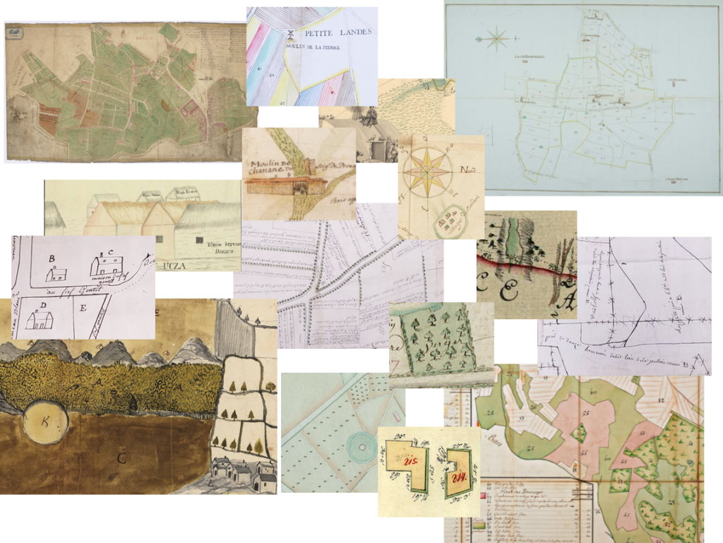
In what ways does mapping literacy transform our relationship with space? Between 1715 and 1820, land surveys, which were previously the preserve of the elite, became widespread throughout Europe. The PlaFond project focuses on France and the Habsburg Monarchy, the primary areas of investigation, and analyses this cognitive revolution through the circulation of administrative models, the dissemination of visual cultures, and the role of professional practices (engineers, surveyors and lawyers), as well as peasant knowledge of space. An open database based on a unique documentary typology will showcase this heritage via a cartographic interface. This database will be developed and operated by an international scientific consortium comprising researchers and heritage institutions from five countries: France, Austria, the Czech Republic, Hungary and Romania.